


ALT
Richat Structure (Guelb er Richât) - Mauritania : https://maps.app.goo.gl/kt3X17KPoGEiAEZH9
4K link : https://imgur.com/a/7joqmLt


Qinghai Delingha Solar power plant - China : https://maps.app.goo.gl/5w8sw9GZmstXnkGN7
4K link : https://i.imgur.com/Edu7xiD.jpeg

Atlantica Solana Generating Station - Arizona - USA
https://maps.app.goo.gl/PWPvEPzSxPFsetC89
4K links :
http://i.imgur.com/B8qU9n8.jpg
http://i.imgur.com/tazhjdk.jpg


Satellite view of my childhood home in the New Brunswick Appalachians. The yellow rectangle is where I lived. After I moved out, arsonists burnt down our home. No one was living in it at the time, but my family lost a lot: furniture, our photos, etc. My dad built that place. The lake at the bottom is a place where I often went fishing and where we obtained our winter wood. We brought it home either with a pony team or a dog team. Read the alt text for some interesting trivia. #SatelliteImagery #SatelliteView #Appalachians #NewBrunswick

Gwangyang industrial complex - South Koreahttps://goo.gl/maps/WVnzeZcK6Jd6CPSr7
4k link : https://i.imgur.com/ytCPbYA.jpg

Hi ! I'm Low Orbit Tourist 
I have been posting pictures of the #EarthFromSpace and #SatelliteView using #GoogleEarth since 2016 on Tumblr.
My work is focused on #abstract #patterns but also the human impact on #landscape seen from above. Here are some examples of my posts from the past years :
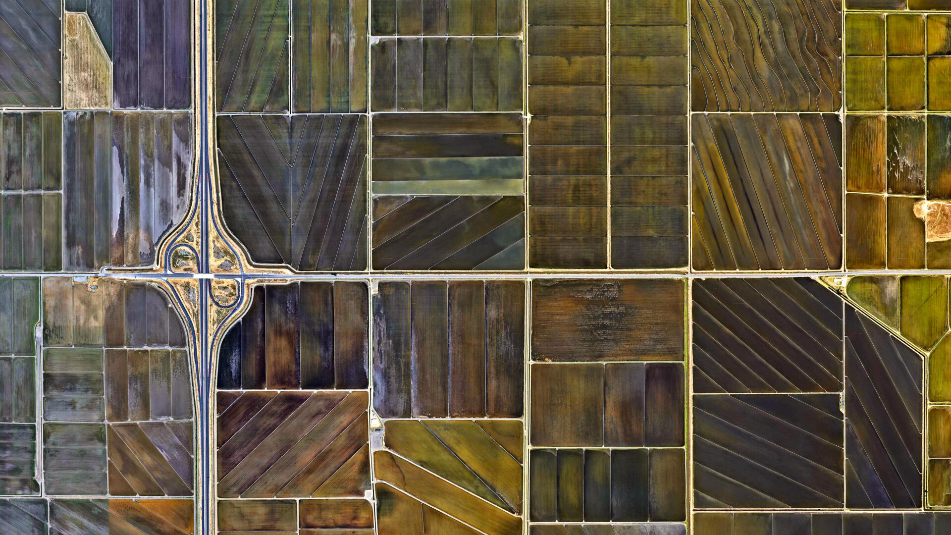
1. California - USAhttps://www.google.fr/maps/@38.7146047,-121.5199796,2452m/data=!3m1!1e3
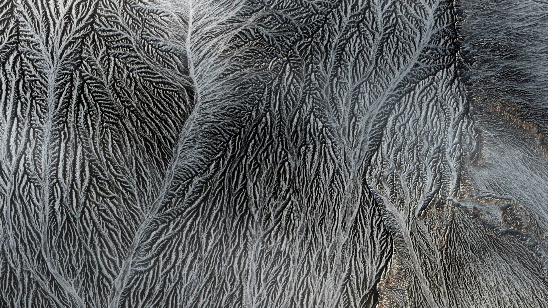
2. China https://www.google.fr/maps/@44.8755486,89.938258,3782m/data=!3m1!1e3
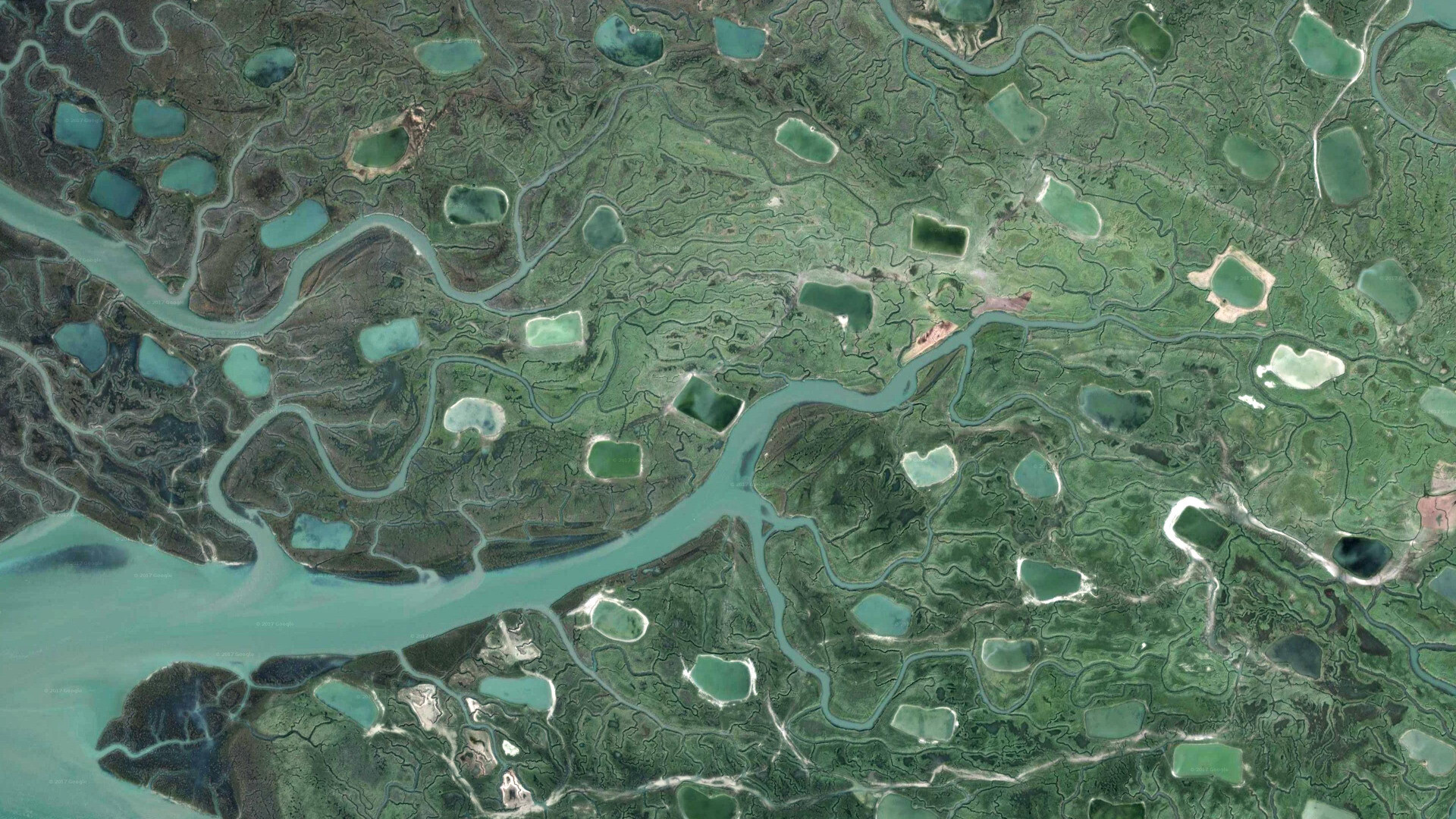
3.Baie de Somme - Francehttps://www.google.fr/maps/@50.1986826,1.6450489,1731m/data=!3m1!1e3
Lake Gairdner - Australiahttps://www.google.fr/maps/@-31.5927654,13
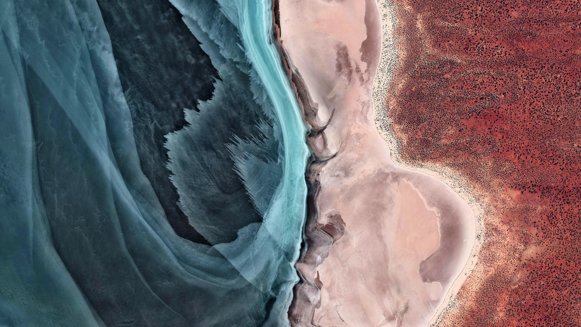

 running through it
some pylons/powerlines towers can be seen in the water but the lines themselves are not visible")